-
 ×
- Startseite
- Kunstdrucke ▸
- Künstler ▸
- Kategorien ▸
- Kunststile ▸
- Bilderrahmen ▸
- Druckmedien ▸
- Alle Druckmedien
- Leinwand Leonardo (Satin)
- Leinwand Salvador (Matt)
- Leinwand Raphael (Matt)
- FineArt Foto Matt
- FineArt Foto Satin
- FineArt Foto Baryt
- FineArt Foto Hochglanz
- Aquarellkarton Munch
- Aquarellkarton Renoir
- Aquarellkarton Turner
- Aquarellkarton Dürer
- Natural Line Hemp
- Natural Line Rice
- Kozo White, 110g
- Kozo Natural, 110g
- Inbe White, 125g
- Unryu, 55g
- Bamboo, 110g
- Premio Unryu, 165g
- Murakumo Natural, 42g
- Bizan Natural, 300g
- Bizan White, 300g
- Aluverbund 3mm
- Acrylglas 5mm
- Musterset bestellen
- Welches Druckmedium passt?
Leinwand
Fotopapier
Aquarellkarton
Natural Line
Japanisches Papier
Spezialmedien
Weitere Informationen
- Hilfe & Service ▸
- Kontaktieren Sie uns
- Ihre Kunst verkaufen
- Häufig gestellte Fragen
- Offene Stellen
- Reklamation
- Muster bestellen
- Gutscheine bestellen
- Versandkosten
- Produktionszeit
- Nachhaltigkeit
- Bildrecherche
- Sonderwünsche
- Wer sind wir?
- Preispolitik
- Firmenpolitik
- Qualitätsversprechen
- Auszeichnungen
- Keilrahmen
- Passepartouts
- Zierrahmen
- Verglasung
- Fillets
- Aufhängungen
- Druckmedien
- Pflegetipps
- Impressum
- AGB
- Datenschutz
- Widerrufsrecht
Info & Service
Weitere Informationen
Wissenswertes
Rechtliches
- Shop ▸
- Kontakt




 In 3D / AR ansehen
 Bild zu Favoriten hinzufügen
 Wandfarbe ändern
 Bild in einem Raum anzeigen

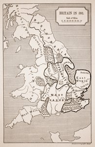


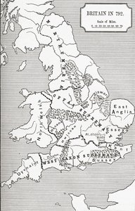
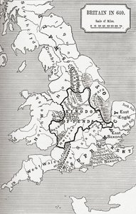
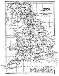
.jpg "Karte von Britannien im Jahr 658, erstellt von Stanford")

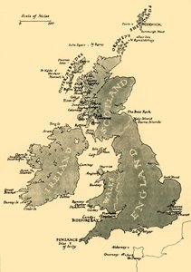
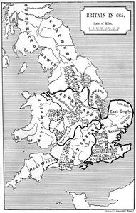

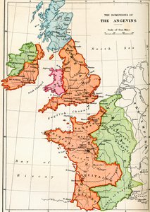
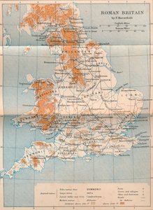
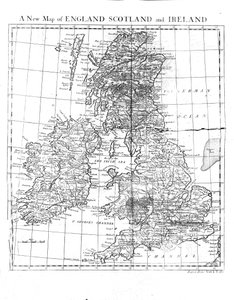
.jpg "Karte von Großbritannien, die die Herrschaftsgebiete von Wilhelm dem Eroberer zeigt, ca. 1087, aus dem Historischen Atlas, veröffentlicht 1923")
.jpg "Skizzenkarte von Australien mit der Route von Mr. Stuart, 1864")
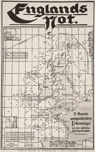

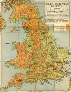

.jpg "Kirche und Landhaus mit beleuchteten Fenstern")
.jpg "Porträt König Richards III.")
 c1740-50 - (MeisterDrucke-77045).jpg "Kidbrooke Park, Kent, ehemals George Lambert (1700-65) zugeschrieben, um 1740-50")
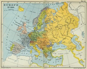
.jpg "Detaillierte Karte der Halbinsel Gallipoli und der Dardanellen, Türkei, 1915, aus „The War Illustrated Album de Luxe“, veröffentlicht in London, 1916")

.jpg "Weltkarte mit den rot eingefärbten Besitzungen des Britischen Empire, um 1870")

 - (MeisterDrucke-135768).jpg "Eine neue und korrekte Weltkarte, nach den neuesten Entdeckungen und den genauesten Beobachtungen angefertigt, 1736")
 1814 - (MeisterDrucke-70081).jpg "Karte der Insel Elba, gestochen von Jean-Baptiste Tardieu (1768-1837), 1814")
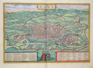

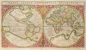
.jpg "Panoramablick auf die Ostsee und die Route der Flotte von Spithead nach St. Petersburg, nach Regierungskarten und -plänen unter der Aufsicht eines Offiziers der Expedition unter Sir Charles")
 - (MeisterDrucke-37902).jpg "Karte von Kanada, aus „Carte de l")
.jpg "Karte des Bundesstaates Texas, 1835")
.jpg "Karte Nr. 3 zeigt die Route der Armada-Flotte, graviert von Augustine Ryther, 1588")
.jpg "Karte von Algerien, 1876")
.jpg "Karte des County Philadelphia aus tatsächlicher Vermessung, 1843")
.jpg "Karte von Europa, Nordafrika und Westasien, Orbis Veteribus Notus, aus „Der Atlas der antiken Geographie“ von Samuel Butler, veröffentlicht in London, ca. 1829")

.jpg "Betende Hände")
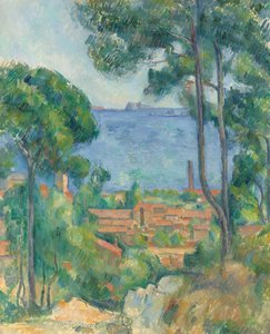
.jpg "Tal des Yosemite")

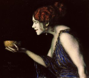
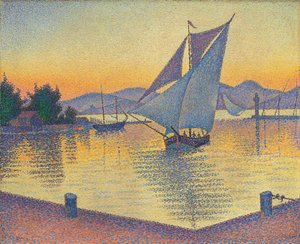
.jpg "Die Klage um Ikarus")

 +43 4257 29415
 support@meisterdrucke.com
 Mo-Do: 7:00 - 16:00 | Fr: 7:00 - 13:00