-
 ×
- Startseite
- Kunstdrucke ▸
- Künstler ▸
- Kategorien ▸
- Kunststile ▸
- Bilderrahmen ▸
- Druckmedien ▸
- Alle Druckmedien
- Leinwand Leonardo (Satin)
- Leinwand Salvador (Matt)
- Leinwand Raphael (Matt)
- FineArt Foto Matt
- FineArt Foto Satin
- FineArt Foto Baryt
- FineArt Foto Hochglanz
- Aquarellkarton Munch
- Aquarellkarton Renoir
- Aquarellkarton Turner
- Aquarellkarton Dürer
- Natural Line Hemp
- Natural Line Rice
- Kozo White, 110g
- Kozo Natural, 110g
- Inbe White, 125g
- Unryu, 55g
- Bamboo, 110g
- Premio Unryu, 165g
- Murakumo Natural, 42g
- Bizan Natural, 300g
- Bizan White, 300g
- Aluverbund 3mm
- Acrylglas 5mm
- Musterset bestellen
- Welches Druckmedium passt?
Leinwand
Fotopapier
Aquarellkarton
Natural Line
Japanisches Papier
Spezialmedien
Weitere Informationen
- Hilfe & Service ▸
- Kontaktieren Sie uns
- Ihre Kunst verkaufen
- Häufig gestellte Fragen
- Offene Stellen
- Reklamation
- Muster bestellen
- Gutscheine bestellen
- Versandkosten
- Produktionszeit
- Nachhaltigkeit
- Bildrecherche
- Sonderwünsche
- Wer sind wir?
- Preispolitik
- Firmenpolitik
- Qualitätsversprechen
- Auszeichnungen
- Keilrahmen
- Passepartouts
- Zierrahmen
- Verglasung
- Fillets
- Aufhängungen
- Druckmedien
- Pflegetipps
- Impressum
- AGB
- Datenschutz
- Widerrufsrecht
Info & Service
Weitere Informationen
Wissenswertes
Rechtliches
- Shop ▸
- Kontakt




 In 3D / AR ansehen
 Bild zu Favoriten hinzufügen
 Wandfarbe ändern
 Bild in einem Raum anzeigen
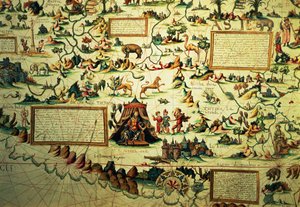
.jpg "Weltkarte, von den östlichen Küsten Amerikas bis nach Indien")
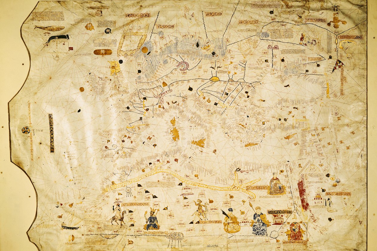
.jpg "Seekarte des Mittelmeers und des Schwarzen Meeres")

.jpg "Guillmus Soleri civis maioricaru me fecit")
.jpg "Seekarte des Mittelmeers und des Schwarzen Meeres")
.jpg "Seekarte des Mittelmeerraums, einschließlich Europa mit den Britischen Inseln und einem Teil Skandinaviens")
 - (MeisterDrucke-104412).jpg "Karte der Molukken, 1522")
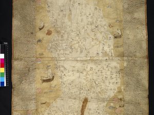
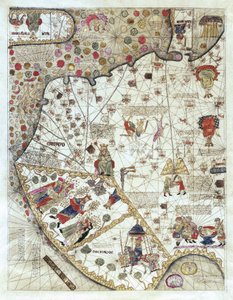
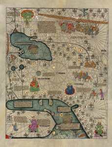
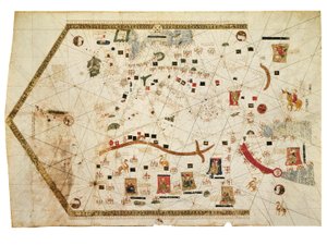
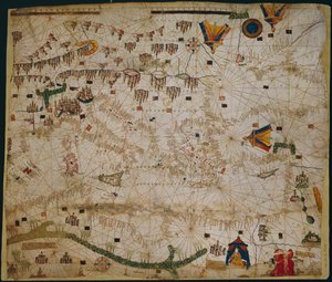
.jpg "Atles català")
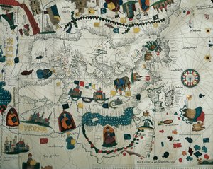
.jpg "Detail aus einer katalanischen Weltkarte")
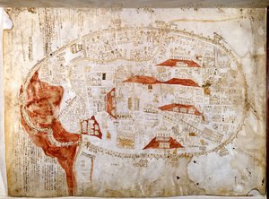
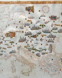
 - (MeisterDrucke-112095).jpg "Mappa Mundi, 1502")
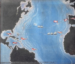
.jpg "Weltkarte, von den östlichen Küsten Amerikas bis nach Indien")

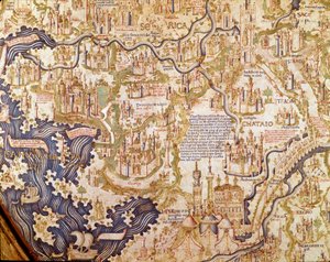
.jpg "Detail des Mittelmeers aus der Mappa Mundi, ca. 1290")
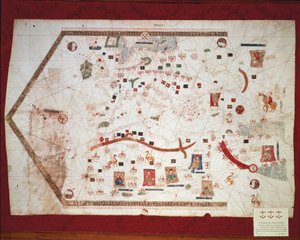
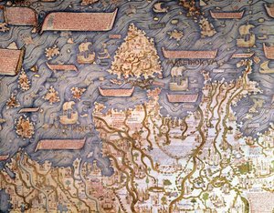
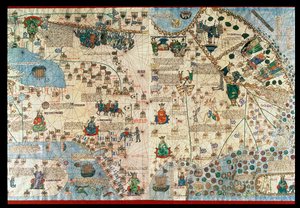
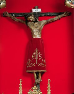


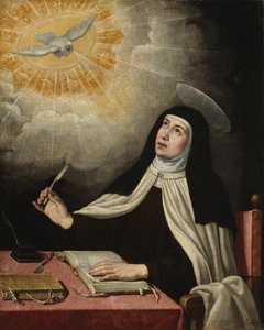
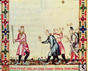
 - (MeisterDrucke-68449).jpg "Genealogie der Inka-Herrscher und ihrer spanischen Nachfolger von Manco Cápac, dem ersten Inka-König, bis zu Ferdinand VI. von Spanien, um 1750")

 - (MeisterDrucke-36081).jpg "Karte Karls V., Karte des Mecia de Viladestes, ein Portolan Europas und Nordafrikas, 1413")
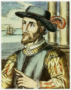
.jpg "Goldmünze aus Spanien: Herrschaft der Katholischen Könige Ferdinand und Isabella (Ferdinand II. von Aragón und Isabella I. von Kastilien). 1474-1516. Durchm. 2.7 cm. Neapel, Archäologisches Nationalmuseum")
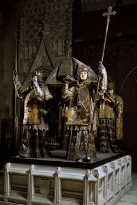
 - (MeisterDrucke-153535).jpg "Karte von Cambridgeshire, veröffentlicht in Amsterdam um 1647-48")
 - (MeisterDrucke-80672).jpg "Karte des Kremls in Moskau, 1662")
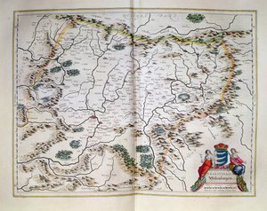
 (see also 330956) - (MeisterDrucke-54987).jpg "Der Indische Ozean, aus einem Weltatlas mit 33 Karten, Venedig, 1. September 1553")
.jpg "Karte von Nord- und Südamerika, aus der „Sala del Mappamondo“ (Saal der Weltkarten), um 1574-75")

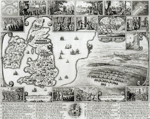
 - (MeisterDrucke-53272).jpg "Karte mit der Route der Armada-Flotte, gestochen von Augustine Ryther, 1588")
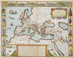
.jpg "Geografische Karte der Azoren, 1587")

.jpg "London: Abschnitt Whitechapel, aus einer beschreibenden Karte der Armut im East End, 1887")
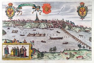
 from John Speeds Theatre of the Empire of Great Britain pub by John Sudbury and George Humble 1611-12 (hand coloured copp - (MeisterDrucke-64003).jpg "The Countye Palatine of Chester, graviert von Jodocus Hondius (1563-1612) aus John Speed")
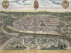
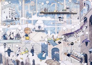
.jpg "Lyrisches")
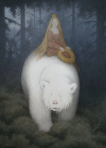
 from Choix des Plus Belles Fleur - (MeisterDrucke-248643).jpg "Rosa banksiae (Banks-Rose), aus „Choix des Plus Belles Fleurs“, 1827")
.jpg "Stillleben mit Kaffee")
.jpg "Der Traum")
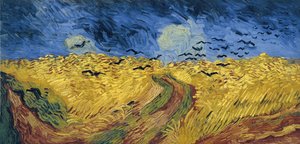
.jpg "Der Lauf des Imperiums: Der arkadische oder pastorale Zustand")
.jpg "Die Lieder der Nacht")
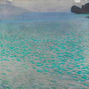
.jpg "Mädchen mit Kind")
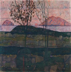
 - (MeisterDrucke-16196).jpg "Adele Bloch-Bauer")

 +43 4257 29415
 support@meisterdrucke.com
 Mo-Do: 7:00 - 16:00 | Fr: 7:00 - 13:00